Blank US Map
Just the 50 state boundaries. Add names, color a region, or make your own classroom activity.
 US Map
From the screen to your study table. Free maps and practice sheets for teachers, families and curious minds. No account, payment or forms.
All 50 states, including Alaska and Hawaii. Washington, D.C. and US territories are not included as states.
Choose a map or worksheet below; each PDF comes in US Letter and A4.
Just the 50 state boundaries. Add names, color a region, or make your own classroom activity.
Print opens only this PDF in a new tab. Choose the PDF reader’s Print button; for a worksheet, print both pages. If your device downloads it instead, open the saved file to print.
See all 8 downloads ↓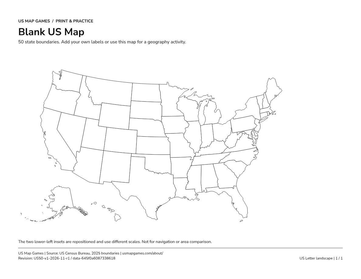
Preview unavailable. You can still use the download link to open the full PDF.
Preview images show the actual PDF pages. Download the vector PDF for sharp, readable printing, not the preview image.
Every link is a complete, offline-ready PDF. US Letter is the default; A4 is always available. The answer key stays separate from the practice sheets.
Just the 50 state boundaries. Add names, color a region, or make your own classroom activity.
All 50 full state names, with separate labels for small states. Keep it nearby as a study reference.
A numbered map plus a separate sheet with 50 blank answer lines. No answers included.
The complete number-to-state answer table. Download separately after completing the worksheet.
If a link opens a PDF instead of saving it, use the reader’s Download / Save button. On a phone or tablet, use Share → Save to Files (or your device’s equivalent). No hover or keyboard shortcut is required.
Canceling in the PDF reader does not change your selection here. Browser and mobile printing controls vary; saving the PDF and opening it in another reader is always an alternative.
Choose the size loaded in your printer: US Letter or A4. Both files are landscape and have their own physical page size, not just a different filename.
Yes. Boundaries, names, numbers and leader lines use grayscale on white. Color is never needed to identify a state or match an answer.
Yes. Numbers 1–50 follow the full English state names in alphabetical order. Letter and A4 use the same mapping. Check that the worksheet and answer key share the revision printed in their footers: US50-v1-2026-11-r1 / data-645f0a6087338618.
Alaska and Hawaii are the two lower-left insets. They are repositioned and shown at different scales so all 50 states fit on one page. These learning maps are not for navigation or real area comparisons. Blank and numbered maps use a location-based inset note so it does not give away state-name answers.
Meet the states on the learning map, then see how many you can find without the labels.
Map boundaries: US Census Bureau, 2025, using this site’s existing map data. Sources and map notes. Text uses embedded Nunito Sans, licensed under the SIL Open Font License.